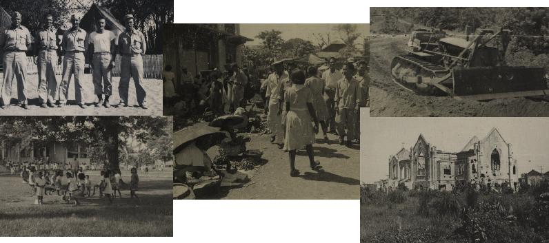
|
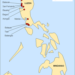
These are the locations of the placenames identified from the photo annotations, as derived from present-day sources. |
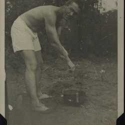
Annotated "Newly arrived Manila, June '45", although the unit history records the arrival date as 24 May. Here is a man getting ready to take a helmet bath, shortly after arrival. |
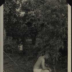
More ablutions, with a couple of kids watching curiously. Annotated "It's the truth," significance unclear. |
|
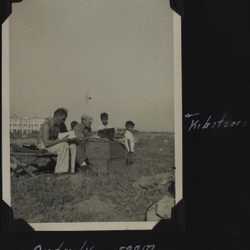
618th Engineers Orderly Room in Manila (Grace Park section). It's a long way from Camp Claiborne. Local kids are overseeing. The unit history says, "While in Manila about a hundred children spent their mealtimes and most of the day with us. They were everywhere." |
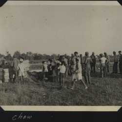
Chow line at Manila, Grace Park section. A number of local people are in evidence, suggesting they may have shared the rations. |
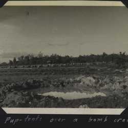
A row of puptents in a field, bomb crater in foreground. Manila, Grace Park section, shortly after arrival. This location had recently been evacuated by combat infantry. The 618th stayed here about five days before moving to San Fernando. |
|
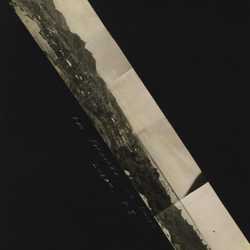
Mosaic panorama of San Fernando, a city in La Union province on the west coast of Luzon, north of Manila. This was the 618th's base of operations. |
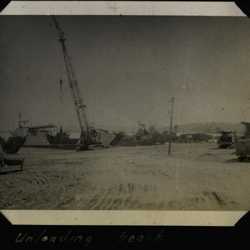
Unloading equipment on the beach. Album context does not reflect location or date. Perhaps this shows some of the San Fernando set-up activities at "White Beach," mentioned in the unit history. |
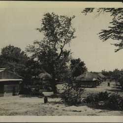
Views of the Company area at San Fernando. |
|
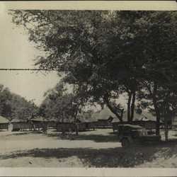
Another view of the Company area. |
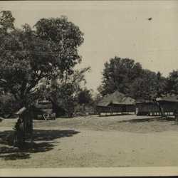
Company area. Apparent notice-board out front, large item of equipment in back. |
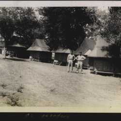
Officers' quarters at the Company area. The men are not identified. |
|
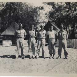
Group portrait of the officers of the 618th at that time, almost certainly at the Company area at San Fernando. Another annotated print identifies men as (left to right): Clark, Millen, Herman, Drury, Johnson. (Clark is the same as Clark III in following photos.) |
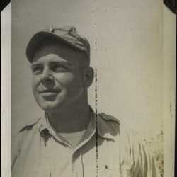
Informal portrait of Lt. Clark. |
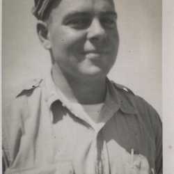
Unidentified person wearing a skippy hat, looks much like Lt. Clark. |
|
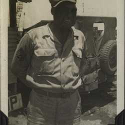
Dozier, identified as "Crane Sgt." |
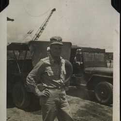
Portrait of Lt. Bostwick, San Fernando, Aug. 1945. |
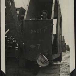
Portrait of Asmussen (not further identified) operating a crane. |
|
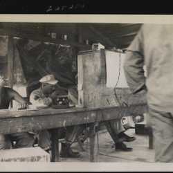
Unidentified electrical equipment and possible microphone, as well as cooling fan on floor in background, might suggest this is a comms center? Men are identified as Epstein and Zaraby(?). |
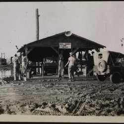
Just about all of the Philippines engineering photos were certainly or very probably taken around San Fernando. This shows the Heavy Equipment yard. |
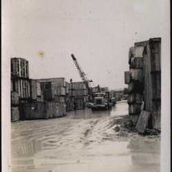
Heavy Equipment Yard, Engineering Depot. |
|
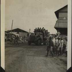
Annotated "Quitting time"; men leaving Engineer Depot in overloaded truck, locals watching. |
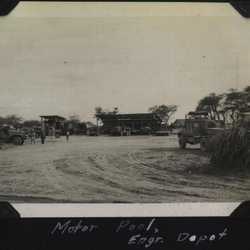
Motor pool, Engineering Depot. |
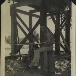
Portrait of T/Sgt. Fenzi, possibly at improvised drafting table? San Fernando, Aug. 1945. He organized and supervised the work at the Brown's Point gravel pit. |
|
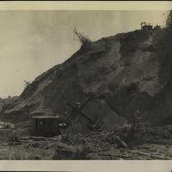
Shovel and men working in a gravel pit at Brown's Point, San Fernando. The shovel looks like the Lorain used at the Milne Bay gravel pit. This activity apparently was central to the 618th operations. Normal output during July 1945 was 1000 truckloads per 24-hr day, or better than one truck every minute and a half. Peak daily output was about 1250 truckloads. |
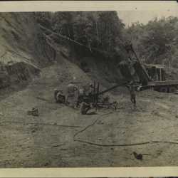
Men working on some unidentified equipment in the gravel pit. Hoses suggest pneumatic or hydraulic operation. It is probably a drill, perhaps the "wagon drill" mentioned in the unit history, which records that the gravel was cemented into the hillside and had to be loosened by blasting. |
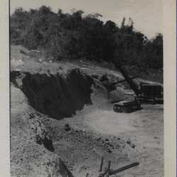
Overview of same equipment. |
|
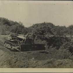
Bulldozer in the gravel pit. It and another dozer were used to feed the shovel. |
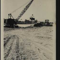
Annotated "2 cubic yard Koering [Koehring] dragline, Bwang [Bauang] River." The Brown's Point gravel was becoming exhausted by August 1945. In October, Brown's Point was closed and operations were shifted to a site on the Bauang River, a few miles S of San Fernando, where the dragline collected gravel from the river. |
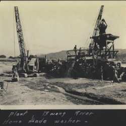
Improvised ("home made") gravel washer--more innovative engineering. Original album page is annotated "Iowa Crushing & Screening Plant, Bwang [Bauang] River," which processed the gravel collected by the dragline. "Iowa" doubtless refers to the item described as "Cedar Rapids Crushing and Screening Plant" in a Table of Equipment listed in the unit history during its time in New Guinea. |
|
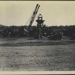
Another view of the washer. |
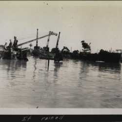
Annotation says "It rained". Evidently so. Sign in flooded area says "Lake Bernard," which doesn't sound like a known geographic feature. This photo is part of the San Fernando set. Album context suggests the date might have been September or October 1945. |
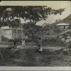
Group of people in San Fernando. Building looks somewhat damaged. The buggy or whatever is very common in the Philippines photos. |
|
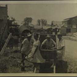
A village scene with four people, unknown context. Location unrecorded but album context suggests San Fernando. |
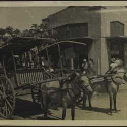
Two of the ubiquitous buggies, probably in San Fernando. |
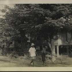
A couple of people walking down a village road, probably in or near San Fernando. |
|
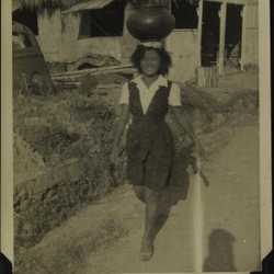
Woman carrying large pot on head, demonstrating proper deportment. Annotated "Nice smile, nice carriage." |
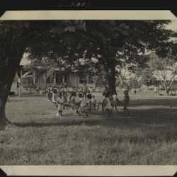
Children in a schoolyard, almost certainly San Fernando. |
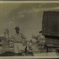
Man, possibly Johnson, standing next to a truck and a carabao. Ruined building in background. Location not recorded but probably San Fernando. |
|
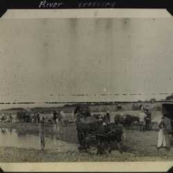
Unidentified river crossing, mostly carabaos and carts. Album context implies somewhere around San Fernando. |
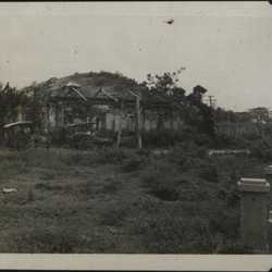
A destroyed building in or near San Fernando. |
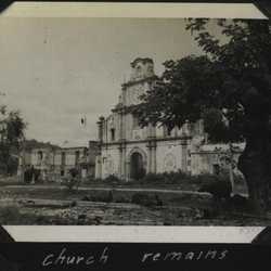
Battle-damaged church in San Fernando. It appears to be the Cathedral of St. William the Hermit. |
|
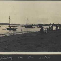
Scenes of a fishing village near San Fernando. Annotated "Waiting for the catch." |
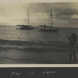
Fishing village. Annotated "Day is done." |
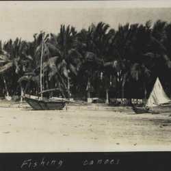
Another view of the fishing village, annotated "Fishing canoes." |
|
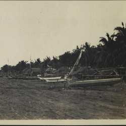
Boats drawn up on a beach at the fishing village. |
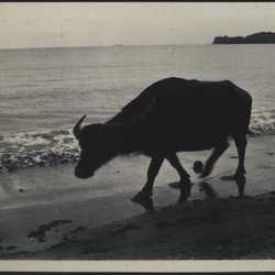
Portrait of a carabao ("swamp buffalo") on the beach. |
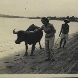
This looks like the same carabao and beach. The background shows this is the San Fernando fishing village beach (see "Waiting for the Catch," above). The woman might be US Army but is unidentified. She seems a little tentative. |
|
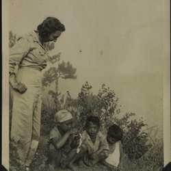
Probably the same woman with three children, one of whom is nicknamed "Shorty." Location unrecorded but album context suggests San Fernando. |
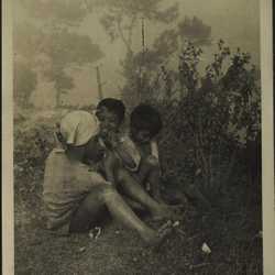
Shorty and his friends. |
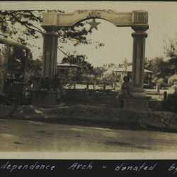
Independence Arch. The location is identified as "Balawan." There are two cities of this name on Mindanao, but the data strongly suggests they were not visited. The candidates for this location are Balaoan, about 15 miles from the 618th base at San Fernando, and Balayan, near Taal. The consideration that the woman sitting under the arch bears a general resemblance to the woman in the previous San Fernando photos tentatively points to Balaoan. |
|
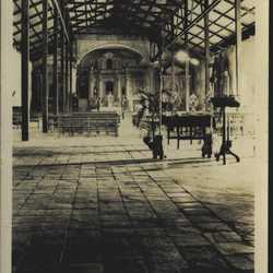
Interior of a church in "Balawan." We have not been able to identify this church or its location from present-day sources. |
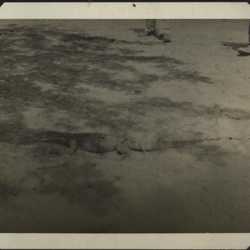
Reptile with spectators in "Balawan." It's hard to make out but the tail looks sort of lizard-like--possibly a monitor? |
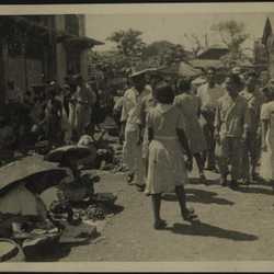
A variety of open-air market scenes, some labeled as at San Fernando, August 1945. Probably all are in that area. Original album page annotated "Everybody goes to market." Indeed they do. |
|
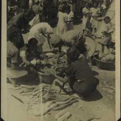
Another market scene, annotated "Barter." |
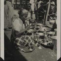
San Fernando outdoor market, annotated "Brazier's." Woman apparently selling a variety of woks and other utensils, presumably brass. |
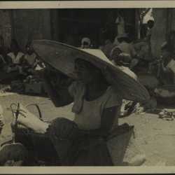
Probable market scene, showing woman in an umbrella-sized hat. |
|
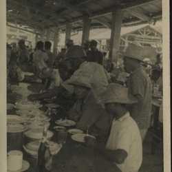
Looks like lunchtime at the market, civilians and Philippine military. |
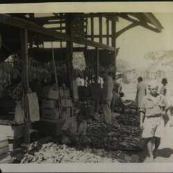
Outdoor market, probably San Fernando. Lots of sandals. |
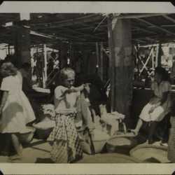
A different part of the market. |
|
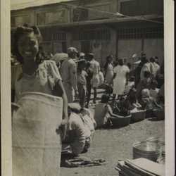
San Fernando outdoor market. Looks very busy. |
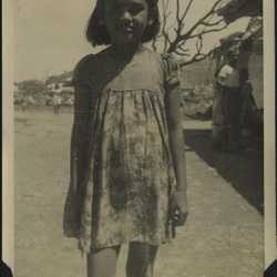
Portrait of girl at San Fernando market. |
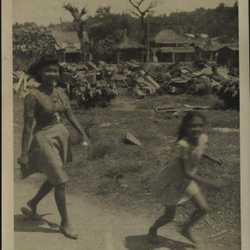
Woman and child at San Fernando market. |
|
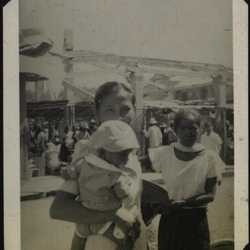
Apparently a family, three generations, at the outdoor market. |
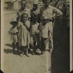
Looks like Johnson, wearing what appears to be a sun helmet and posing with a family group. Annotated "Gone native." |
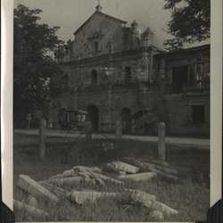
Some photos reflect other locations in NW Luzon. There is no indication, in the photos or the unit history, that the 618th did engineering work in these places. They are not too far from San Fernando, and perhaps Lt. Johnson was able to take brief side trips to see the country. This is a church in Asingan. It has suffered shellfire or bomb damage. |
|
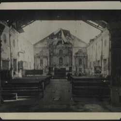
Interior of damaged church, probably same as in previous photo. |
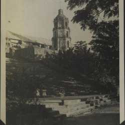
A church in Santa Maria. It appears to be the Our Lady of the Assumption Church (Nuestra Senora de la Asuncion) in Santa Maria, Ilocos Sur province. |
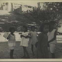
Group of children in Santa Maria, in front of the church. |
|
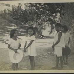
Another portrait of the kids. |
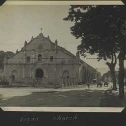
Appears to be St. Paul's Cathedral in Vigan, a town on the NW coast of Luzon. |
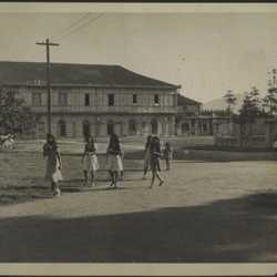
Although the following images are annotated "Viga" or "Vigon," we are confident they are associated with Vigan, a town about 70 miles from San Fernando. (There is a town of Viga on Catanduanes Island, SE of Luzon, but it is unrelated.) Here there is a group of girls walking down the street, giving the impression they're off to school or church. Rather fancy building in background. |
|
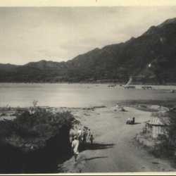
Long shot of dirt road running down to the river. Annotated "Just before Vigon Ferry" on back of print, unknown handwriting. Following photos suggest this is at Vigan. |
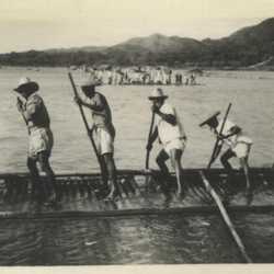
"Vigon Ferry," consisting of a group of men poling a raft that is half awash. Annotated on the back of the print in the same handwriting. Low hill in background indicates this was taken from about same angle as previous, aimed a little to the left. |
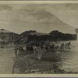
Accidental but informative double exposure. One looks like the "Vigon ferry," carrying a jeep, another vehicle, and a number of men. No wonder it's awash. The other shows a street scene, in which the building in the background resembles the one in the earlier photo. That suggests this ferry is associated with the "Viga" (Vigan) images. |
|
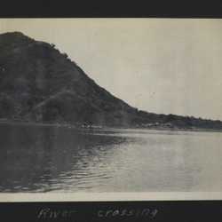
River crossing at Vigan; that looks rather like the ferry. It is carrying at least two trucks, reflecting an Army presence at this location. Whether those trucks belonged to the 618th is unknown. |
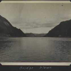
Bridge at Vigan with one span dropped, annotated "Bridge blown." It's not clear that the span from the right-hand abutment to the first pier is still there either. |
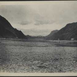
Another view of the blown bridge, showing the right-hand span is gone. This has been identified as the Old Quirino Bridge near Vigan. Today, the right span has been replaced by the same type of structure but the dropped span has been replaced by a low rectangular truss. One source implied the original replacement span was damaged by a typhoon in 2001. The bridge is no longer in routine use. |
|
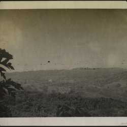
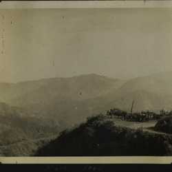
Scenic view of area around Baguio, city in north-central Luzon. It's 23 miles inland from San Fernando. |
Annotated "Main road," overlooking Baguio area. |
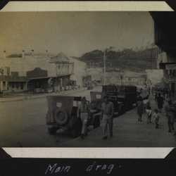
Main street in Baguio. Jeeps all over the place. |
|
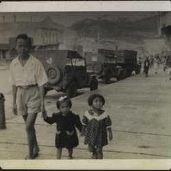
Family on Baguio main street. Note the wooden sidewalk. |
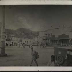
Probably another view of the main street in Baguio. |
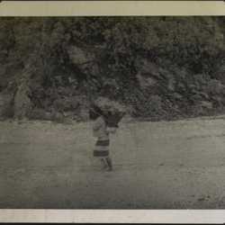
Person walking down path with large conical basket on tumpline. Original album page is annotated "Baguio country." |
|
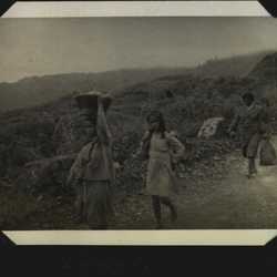
Three people walking down a hillside path, carrying something. Annotation reads "Igorots," who are known also as Cordillerans, a highland people living in northern Luzon. |
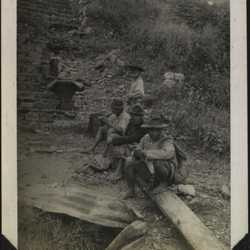
Igorot people sitting on a log at the base of a stone stairway on a hillside. |
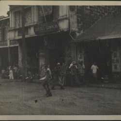
Street scene in "China Town, Manila." Although the arrangement of this part of the album is a bit confusing, these photos appear to have been taken in late 1945, implying the 618th might have returned to Manila from San Fernando. |
|
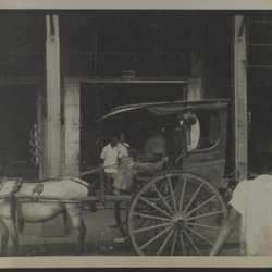
Another equine-drawn two-wheel buggy. Rather stylish. |
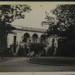
Presidential Palace in Manila. |
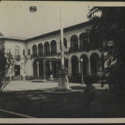
Another view of the Palace, perhaps main entrance. |
|
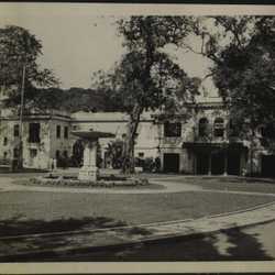
View of Palace, with fountain. Generally looks in good shape but some marks on the walls might reflect battle damage. |
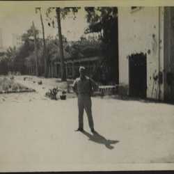
Person standing in front of the Palace. Damage on walls is apparent. |
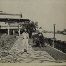
Portrait of unidentified person posing near the Palace. |
|
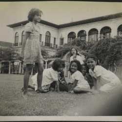
Children on lawn, almost certainly the Palace in the background. |

Interior room of the Palace; fancy table, big chandelier. |
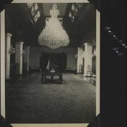
Reception Hall. Who cleans those chandeliers? The impression is that the Palace had not been reoccupied by December 1945 but we have no direct information. |
|
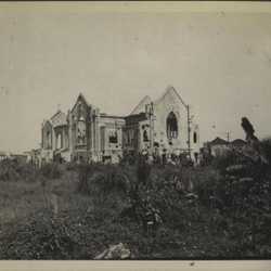
Several photos annotated "War-torn." Location was unrecorded but album context suggests might be vicinity of Manila, Taal, or in between. This is a destroyed church, with what looks like shell holes. |
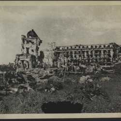
Another shattered building, and rubble. |
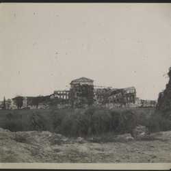
Destroyed building--an empty shell. |
|
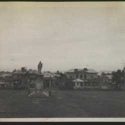
Town square with statue in Taal, on the coast of Batangas province in the SW part of Luzon, near Lake Taal. The unit history contains no suggestion that the 618th relocated to Taal and there are no photos of engineering activity here, so possibly Lt. Johnson, and a few others, might have come here to provide engineering services, or perhaps just on a side trip, in December 1945. |
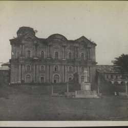
Large unidentified building in Taal; foliage growing on the roof. |
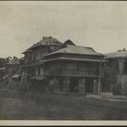
Street in Taal, a few people in evidence but looks very quiet. |
|
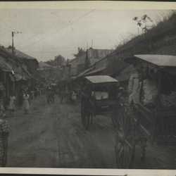
Another street in Taal, very active. Two more of those buggies. |
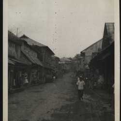
Another Taal street scene, with jeep. |
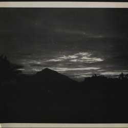
Sunset at Taal. |
|
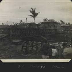
A temporary Bailey bridge near Taal. We doubt the 618th had anything to do with this. No engineering activity in this area was reported in the unit history and there are no photos of engineering work or a completed bridge at Taal, so it seems unlikely they erected it or replaced it with a permanent structure. Perhaps Lt. Johnson simply came across it during a sightseeing trip to Taal, observed, and moved on. |
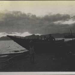
Boats hauled out on shore at a Batangas fishing village. |
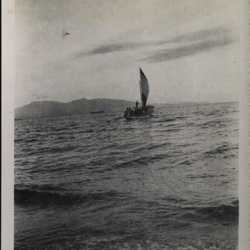
Batangas fishing boat under sail, probably 6 to 8 people on board. |
|
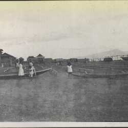
Boats on shore at the Batangas fishing village. Buildings are of substantial construction. Purpose of low railings is unknown; perhaps to dry fish? |
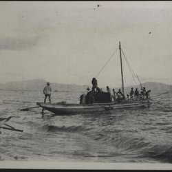
A small fishing boat near the beach. At least 15 people are on board. |
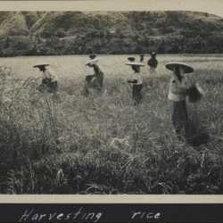
Some other activities were recorded although their context and locations are not definitively known. This is a rice harvest, probably in the vicinity of San Fernando or Santa Maria. |
|
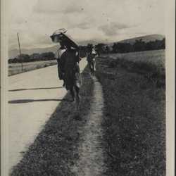
People walking along a road; might be related to the rice harvest. |
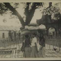
Three women with very large baskets on their heads. Album context suggests might be related to the rice harvest--going to market maybe? |
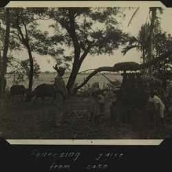
Multiple photos of sugarcane processing. This one is annotated "Squeezing juice from cane," using a carabao-driven press; looks like a small family operation. Unidentified officer is observing. Location is unrecorded but album context suggests general San Fernando area. |
|
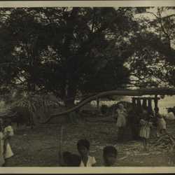
Another view of the pressing operation. Kids all over the place. |
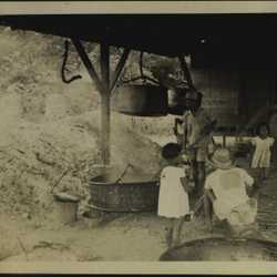
Boiling down the juice in an open tub. Original album page annotated "Mill." |
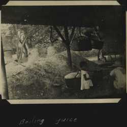
Another view of the boiling process. |
|
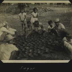
Annotated "Sugar." Apparently the final product; several people sitting around a large array of small pots, full of brown-looking stuff. |
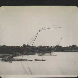
Annotated "Fishing net suspensions," location not recorded. |
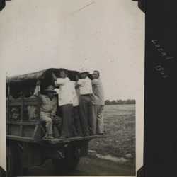
Ground transportation, annotated "local bus." Location not recorded. |
|
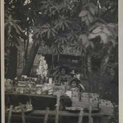
People at laden table, December 1945. Location not recorded, best guess is somewhere around Taal. |
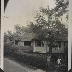
Christmas 1945. |
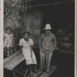
Family portrait, December 1945. |
|
